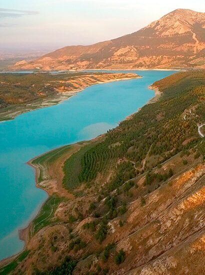
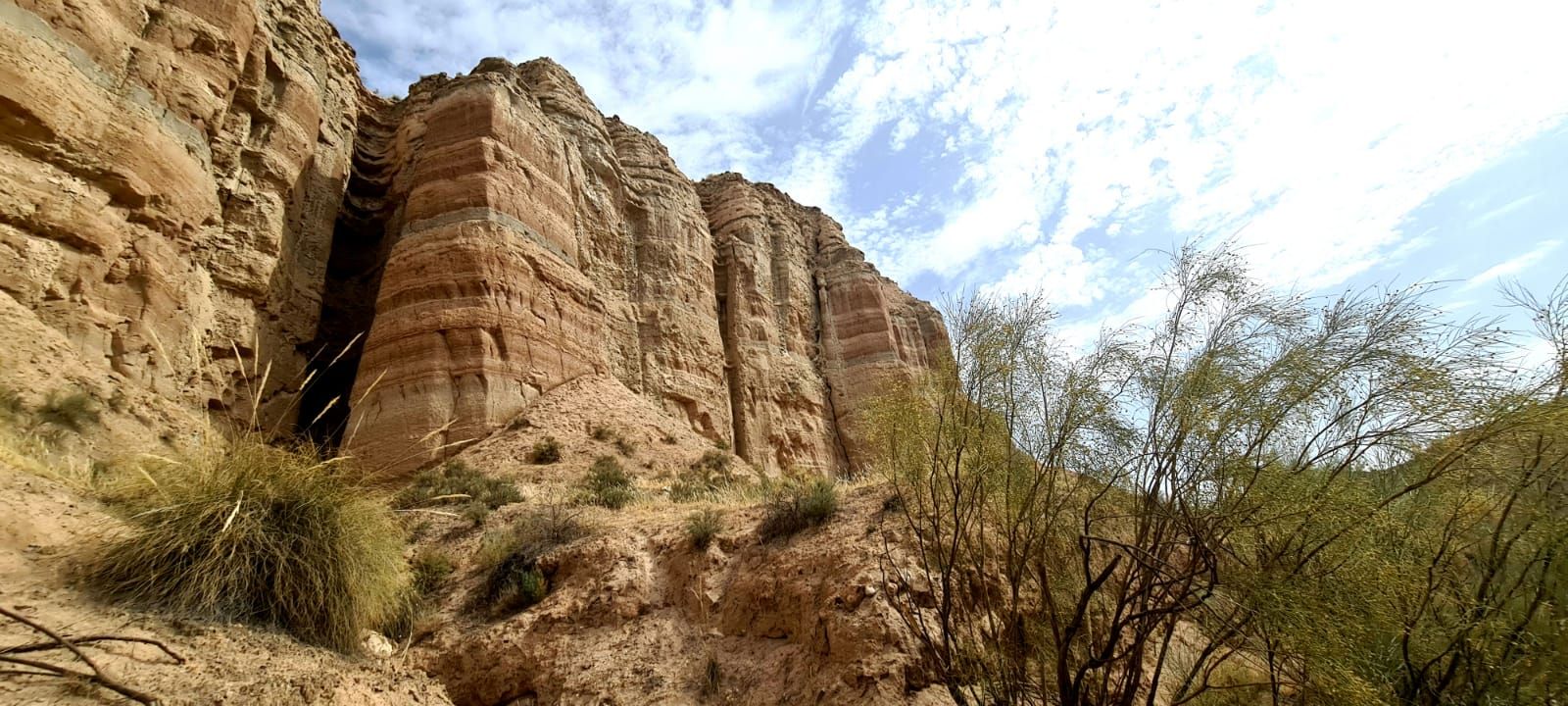
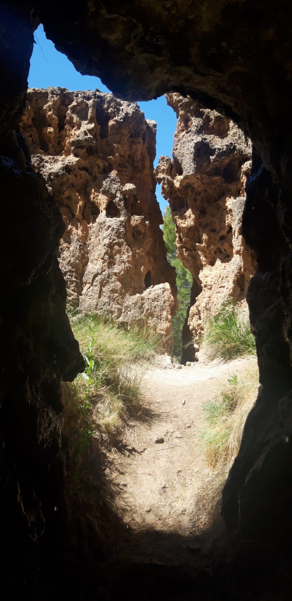
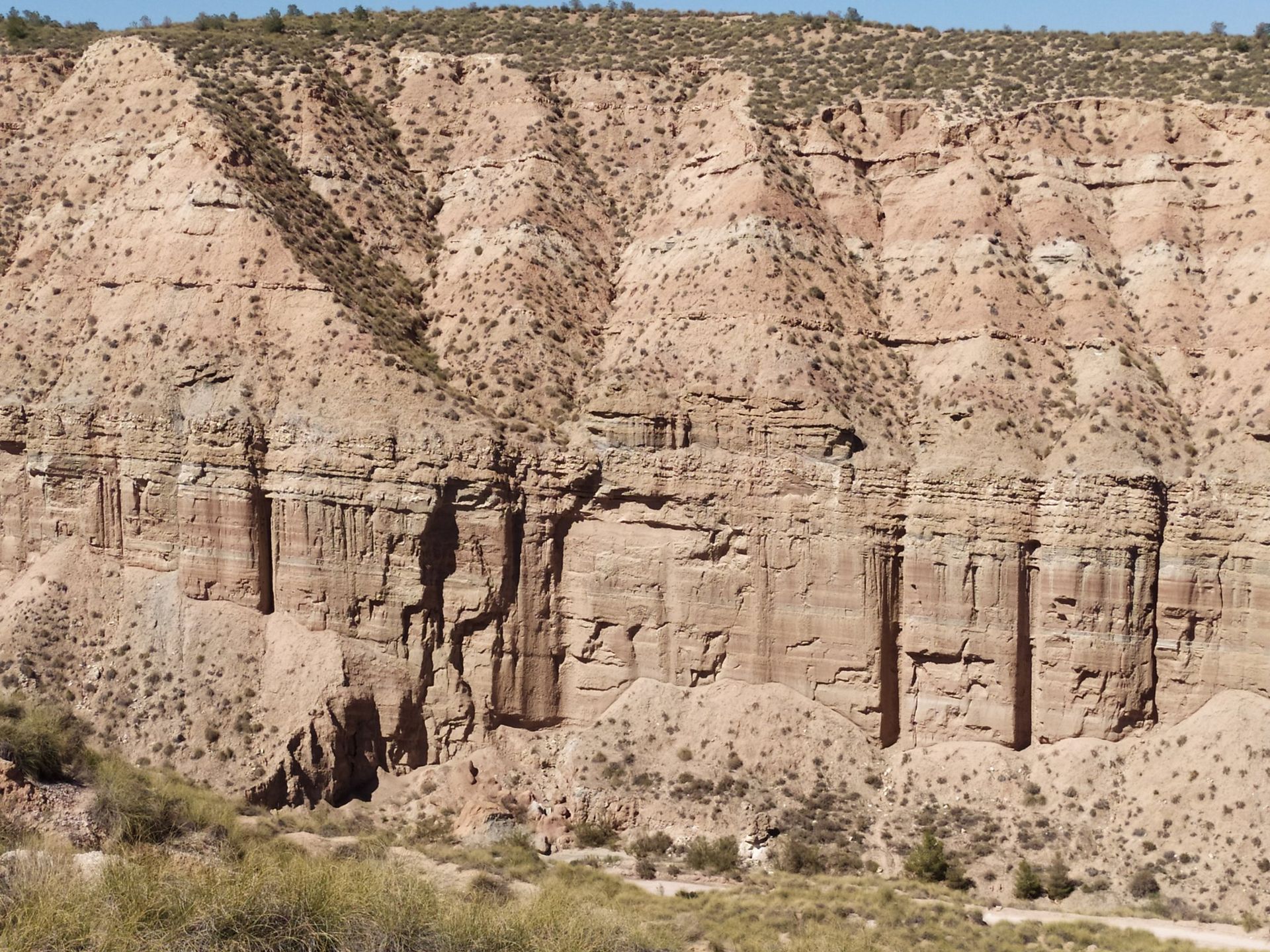
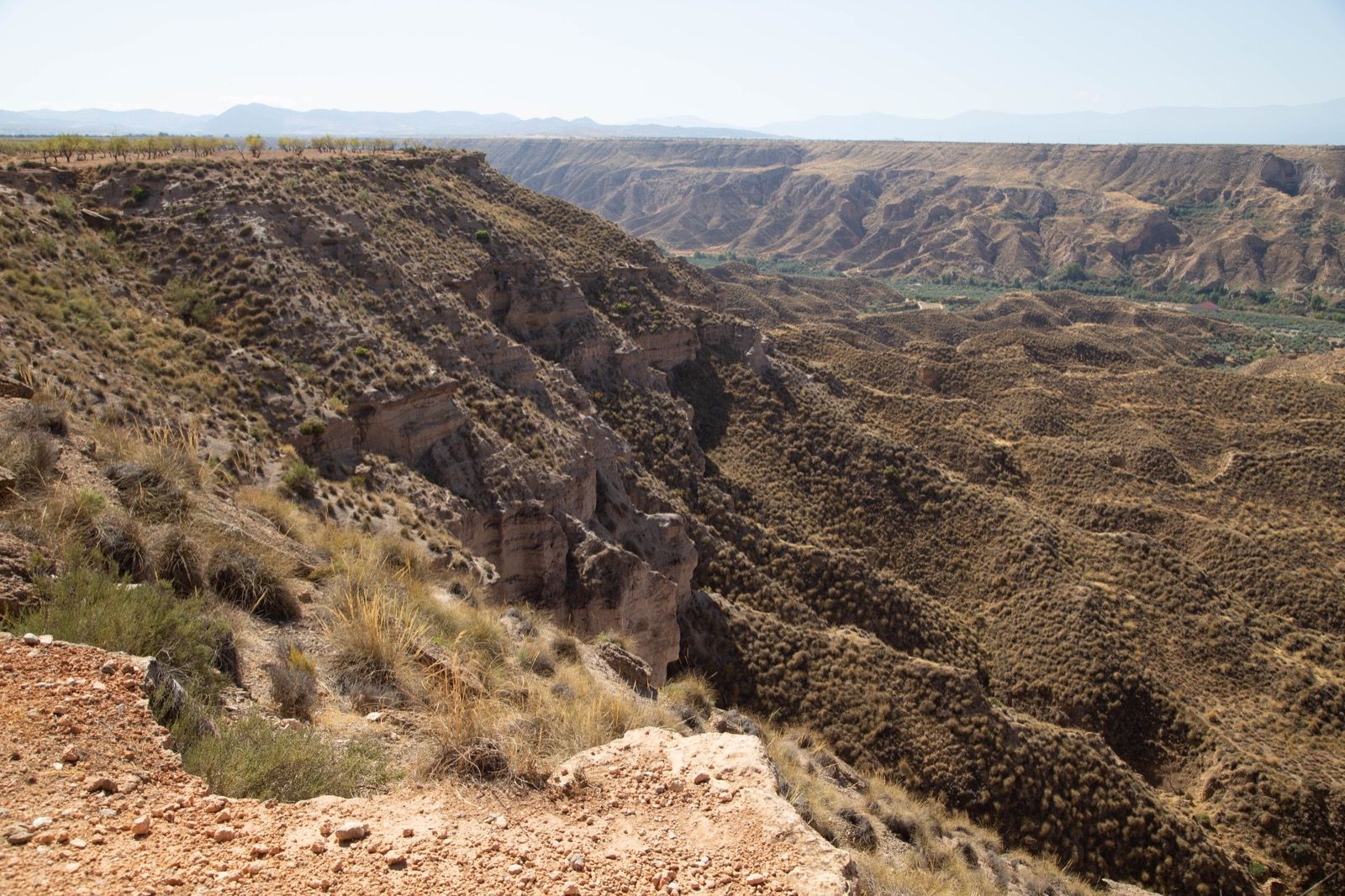
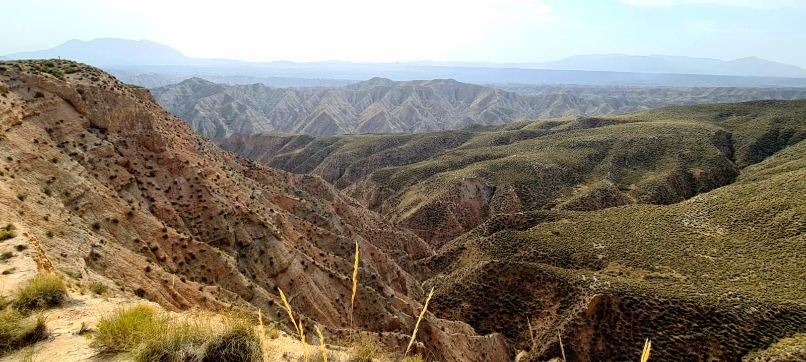
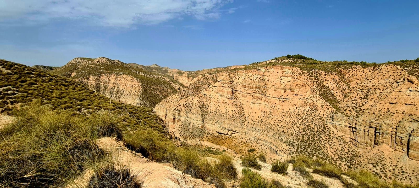
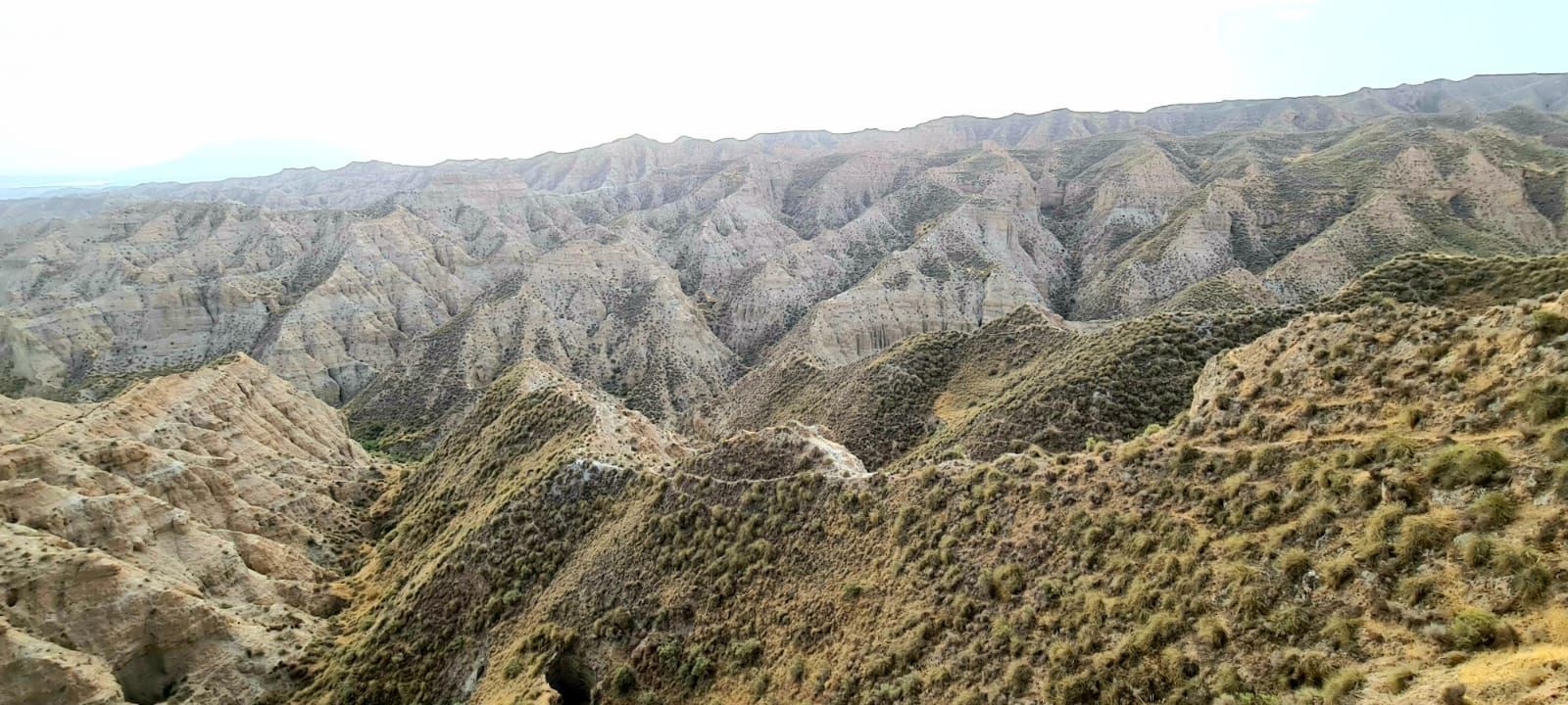
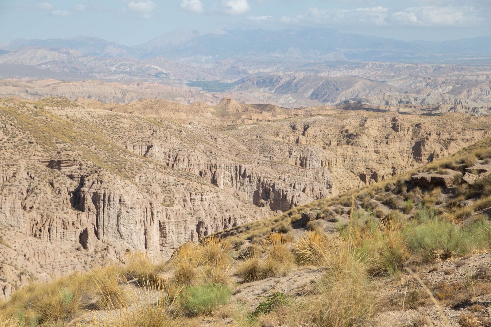
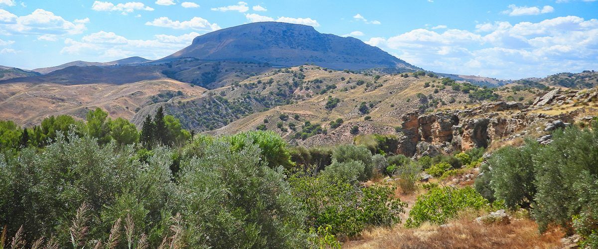
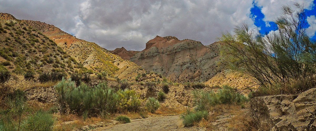
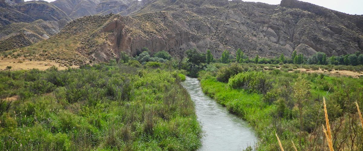
The Granada Geopark, recognized as a UNESCO Global Geopark in 2020, covers an area of more than 4,700 km², spread across 47 municipalities in the regions of Guadix, Baza, Huéscar, and Montes. This vast expanse is part of the heart of the Bética Mountain Range, surrounded by some of the highest mountains on the Iberian Peninsula, such as the Sierra Nevada and the imposing Sierra de la Sagra.
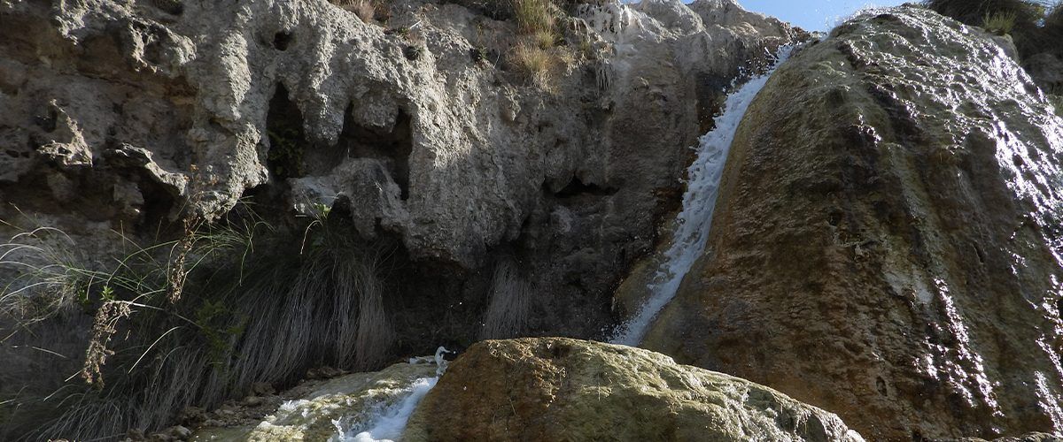
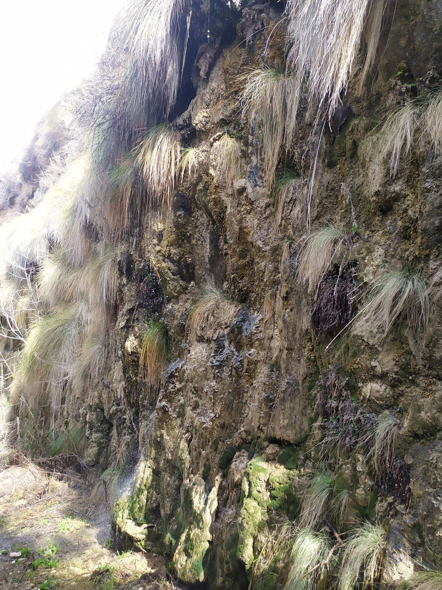
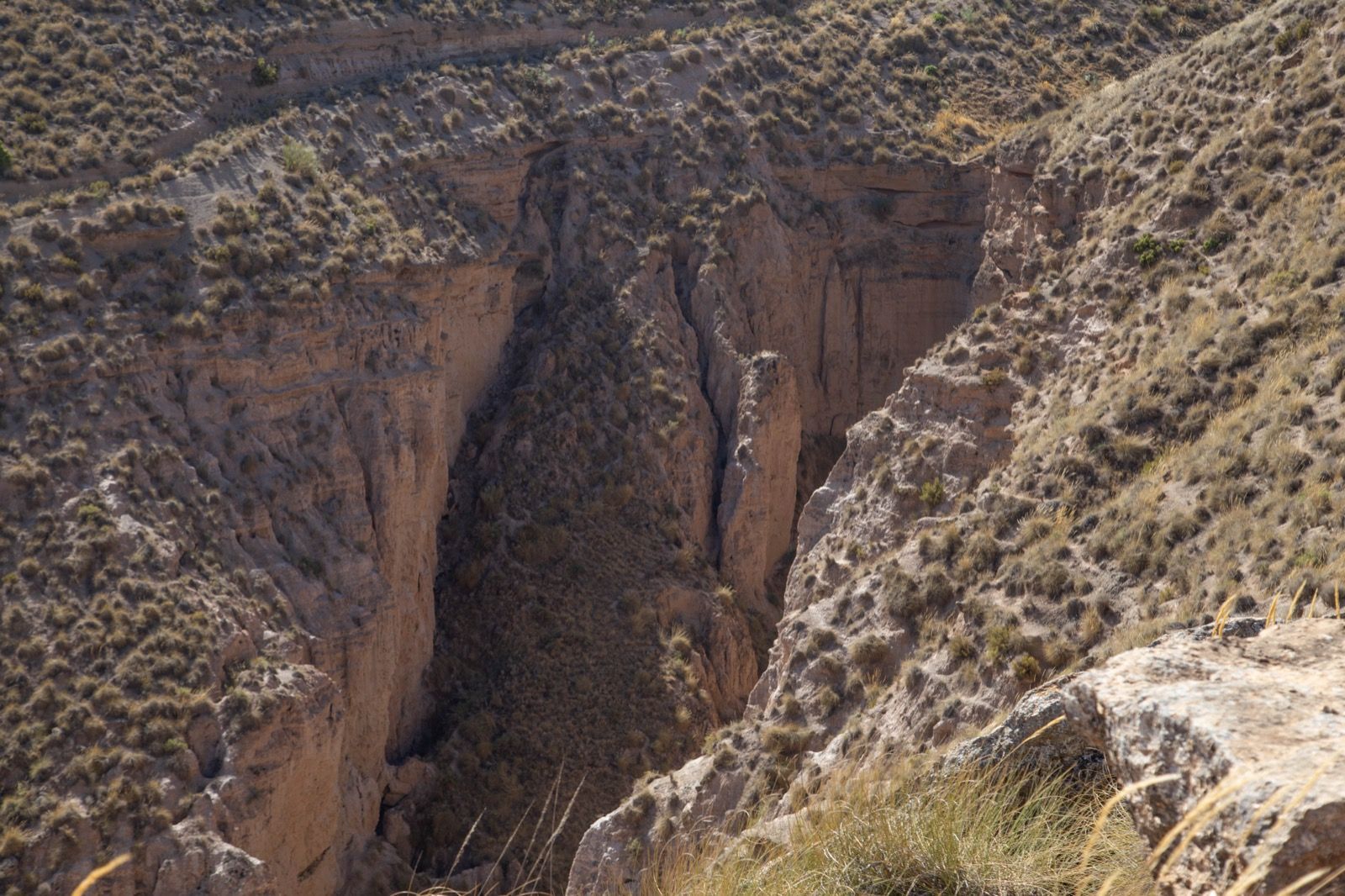
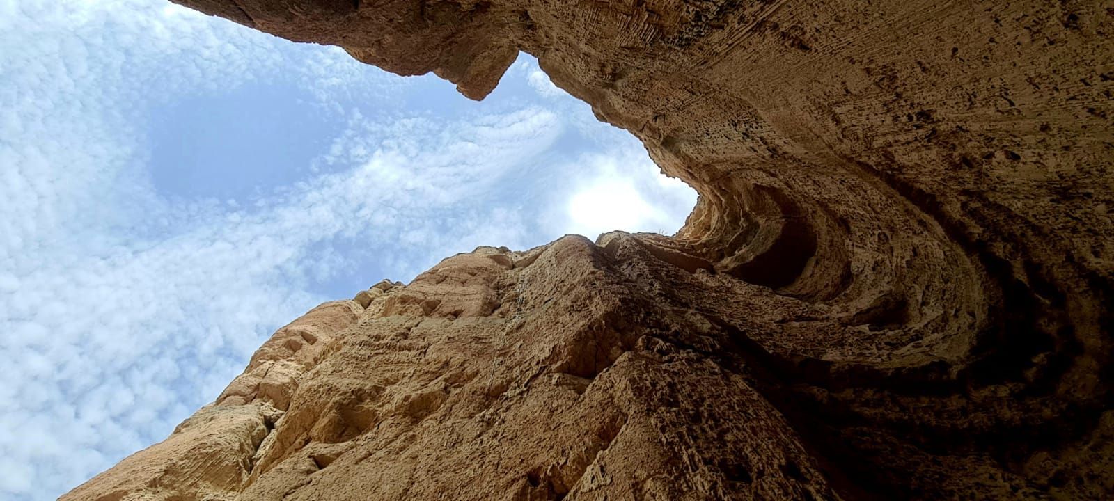
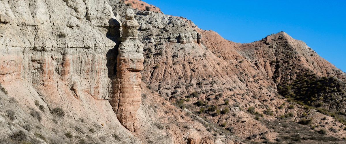
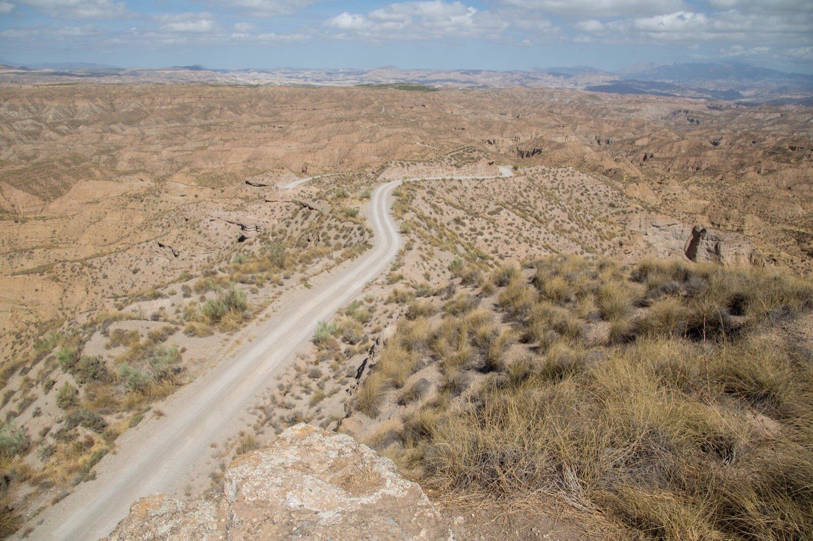
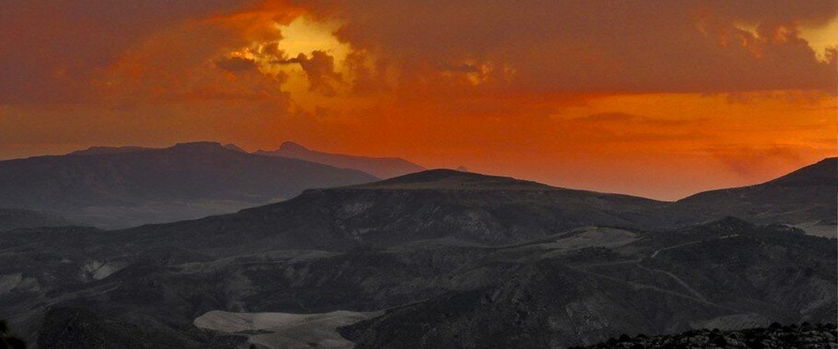
It is a land of contrasts, of arid and spectacular landscapes, where the passage of time has left visible marks on the terrain. Geology has been key to the way of life, traditions, and evolution of its inhabitants, from prehistoric times to the present day. The rocks, with their universal language, tell stories of ancient seas, tectonic movements, and human footprints that fascinate all who venture into this landscape.
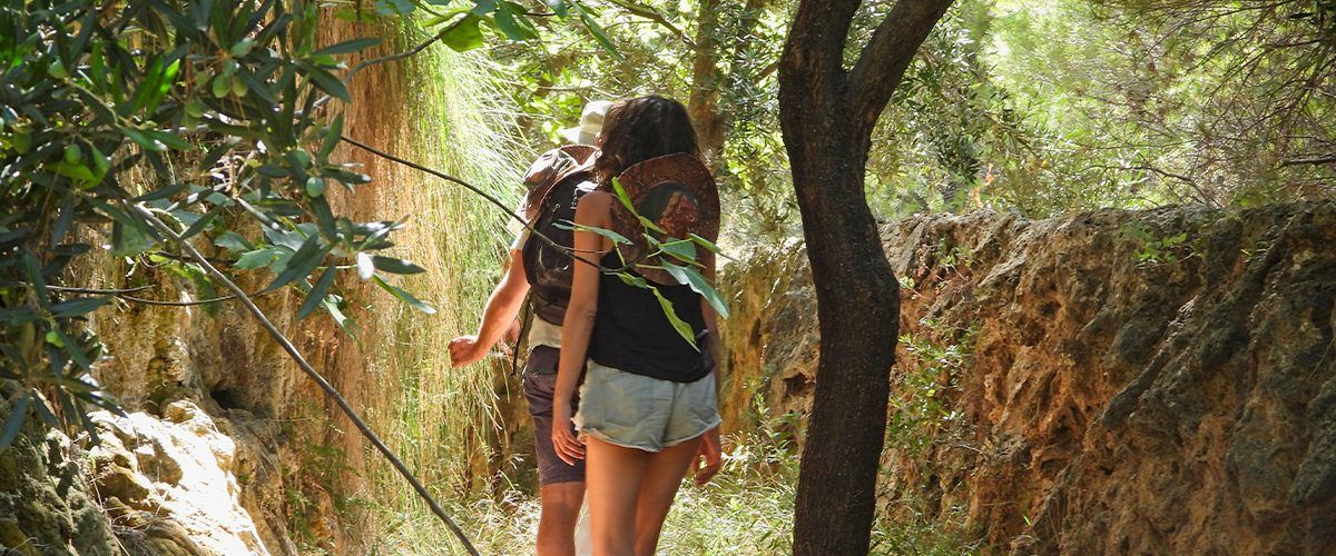
In this space, you'll find useful information, maps, guides, and resources to help you prepare for your visit to the geopark and explore its valuable natural and cultural heritage.